

EXPLORATION INVESTMENT. INTELLIGENCE FIRST.
Exploration
intelligence.
Reimagined.
DXPLR reduces subsurface uncertainty before capital is deployed
— drill-ready targets and superior investment returns.
WHY DXPLR
The world doesn't need more data.
It needs better answers — faster.
THE EXPLORATION GAP
Exploration is getting harder.
~$100B
spent on exploration worldwide every year — and growing
<15%
success rate — most prospects never deliver
7–10 yrs
on average from idea to proven resource
$Bn
lost to dry holes and misdirected work
TECHNOLOGY
Detect before you invest.
Conventional methods show where resources could accumulate.
DXPLR shows whether they are actually there.
CONVENTIONAL
Where could it accumulate?
Seismic · geology · geophysics · geochemical
DXPLR
Is there a signature?
Direct mineral and hydrocarbon detection
RESULT
Higher-conviction drill decisions
Lower risk. Stronger returns.
SPACE-BASED DETECTION
Signatures, straight
from orbit.
Proprietary frequency-resonance technology detects mineral and hydrocarbon presence directly — remote, non-invasive, anywhere on Earth.
- Minerals and hydrocarbons, onshore and offshore
- Works anywhere without field deployment
- Independent — no commercial or strategic conflicts
SCAN · AREA [ID]
- Method
- Frequency resonance
- Coverage
- Onshore / Offshore
- Field crew
- None
- Output
- Signature map
THE SCIENCE · SURFACE TO SUBSURFACE
How does orbit reach +3,000 meters?
DXPLR couples orbital hyperspectral data with subsurface wave mechanics. Signals are benchmarked directly against our proprietary resonance database to confirm commodity identity before inversion models calculate vertical depth and thickness.
Explore the mechanism →VIRTUAL BOREHOLES
See depth before you
drill.
Modelled subsurface profiles show the depth, thickness and intensity of key targets and reservoirs.
- Detection validated beyond 3,000 m
- Accuracy within ±30 m tolerance
- Cross-checked against conventional exploration data
- 0 m
- 1,000 m
- 2,000 m
- 3,000 m
TARGET ZONE
Depth · Thickness · Intensity
±30 m tolerance
DECISION INTELLIGENCE
Know where to drill
first.
Opportunity maps, exploration fairways and ranked targets —
peer-reviewed, validated, source-cited and ready for the board.
- Targets ranked by probability, quality and expected value
- Drill recommendations validated against conventional exploration data
- Actionable results in weeks, not years
TARGET RANKING
Probability · Quality · Expected value
ARCHITECTURE · DATA TO DEPTH PIPELINE
The Subsurface Intelligence Engine
Converting spaceborne spectral measurements into calibrated subsurface profiles.
TIER 01 · INPUT
Orbital Acquisition
- RAW DATA INGEST
- Ingesting contiguous hyperspectral data cubes across VNIR, SWIR and TIR
- Capturing subtle alteration mineralogy and micro-seepage without ground deployment
- Over 100 spectral channels processed with zero ground footprint
TIER 02 · THE ENGINE
Resonance Inversion
- AI & PHYSICS ENGINE
- Physics-informed signal decomposition isolating target harmonic waves
- Matches detected harmonics against proprietary reference database of calibrated mineral and hydrocarbon signatures
- Filters and separates target-specific oscillatory signals from ambient crustal noise
TIER 03 · OUTPUT
Virtual Borehole
- SUBSURFACE DELIVERABLE
- Conversion of harmonic wave attenuation into calibrated vertical depth profiles
- Outputs continuous step interval digital logs down to +3,000 meters
- Generates Virtual Boreholes, net thickness estimates and ranked drilling targets
OPERATIONAL VELOCITY: TYPICAL CYCLE ~4 WEEKS FROM TASKING TO BOARD-READY DELIVERABLES
PROOF
Proven in blind tests.
DXPLR receives only coordinates — no logs. Predictions are time-stamped, then
checked against the client's own drill results.
90%+
mineralization accuracy across independent blind tests
90%+
hydrocarbon validation, confirmed against well logs
±30 m
depth tolerance
+3,000 m
validated detection depth
CASE STUDY · MINERALS · COPPER / MOLYBDENUM · 2026
Copper mineralization depth, thickness and
intensity predicted blind — then validated
against drill logs.- 90%+ accuracy
- ±30 m
CASE STUDY · HYDROCARBONS · 2026
Hydrocarbon-bearing zones identified in
advance and confirmed by well logs.- 90%+ validation
- ±30 m
HOW IT WORKS
Basin to drill decision.
Typical cycle: ~4 weeks
Screen & identify
We screen basins and belts, then define leads
and prospects using structural intelligence.Detect & validate
Direct detection is tested and checked
against seismic, geology and geophysics.Rank & decide
Targets are ranked on risk and return, with drill
recommendations your board can act on.
WHAT WE DETECT
Any commodity. Any terrain.
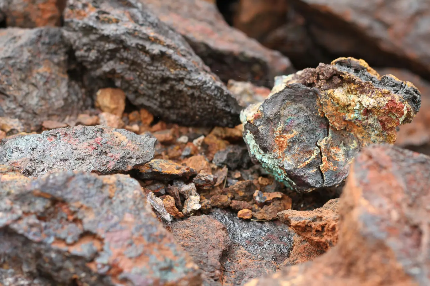
MINERALS
All minerals
Critical, base, precious and bulk commodities.
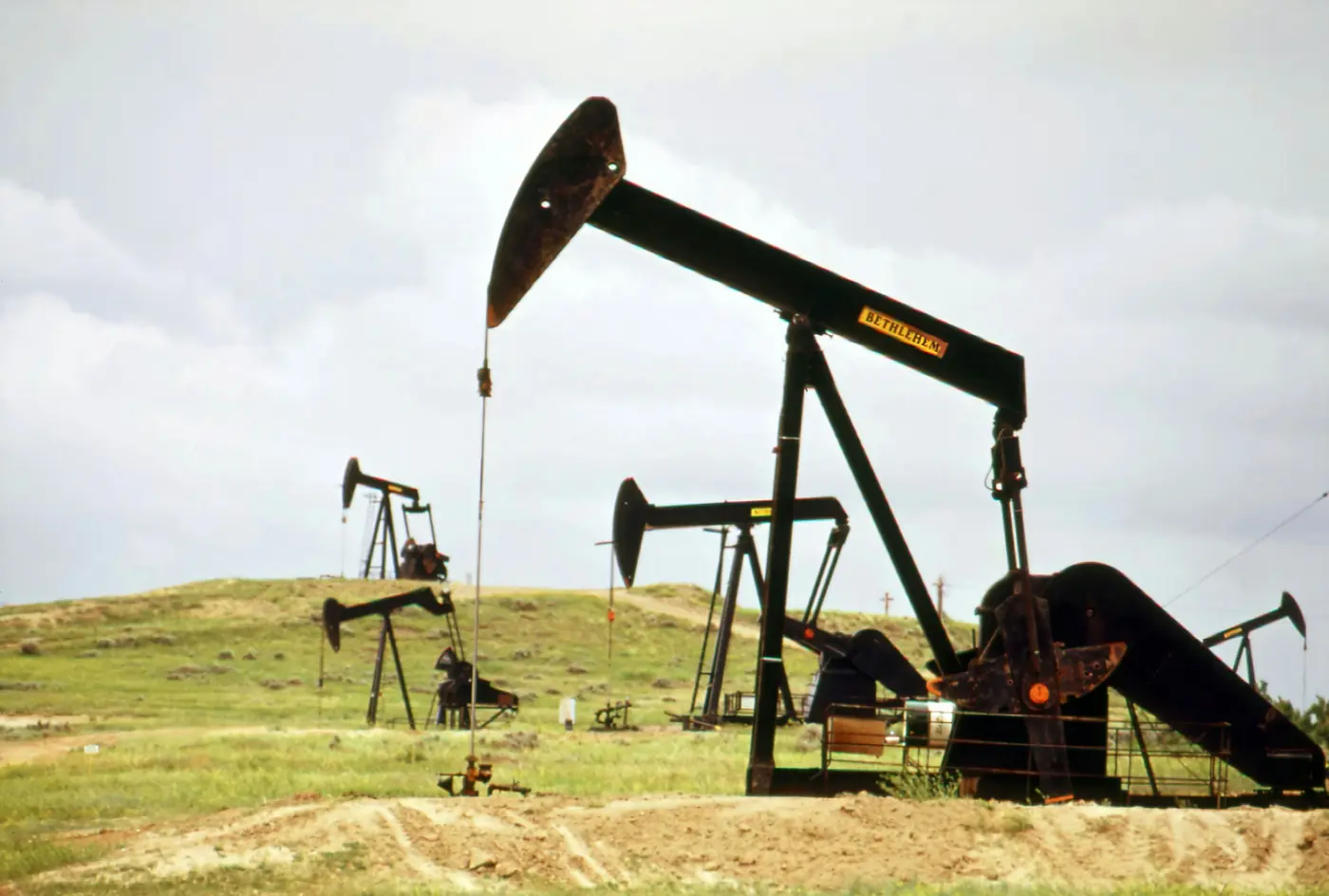
HYDROCARBONS · ONSHORE
Oil & gas onshore
Conventional and unconventional systems on land.
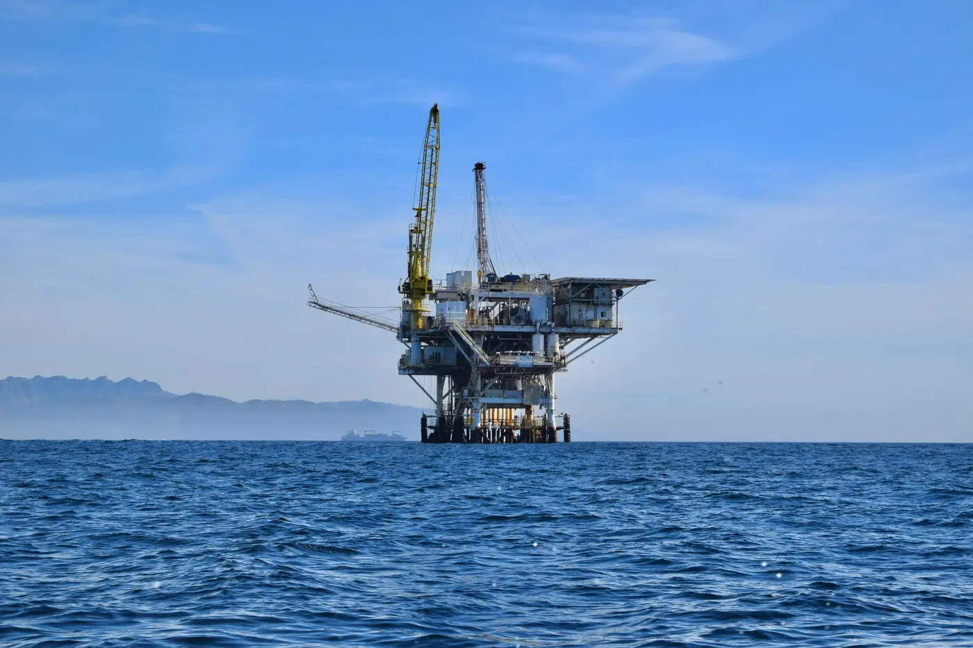
HYDROCARBONS · OFFSHORE
Oil & gas offshore
Deepwater and shallow-water basins worldwide.


WHO WE WORK WITH
Built for everyone who commits
capital to the ground.
Exploration companies
De-risk programs, prioritise the best targets and improve capital efficiency.
Operators & NOCs
Validate opportunities independently and raise exploration success rates.
Investors & private equity
Identify high-potential assets earlier, reduce risk and strengthen portfolio returns.
Service companies
Integrate DXPLR intelligence into your own solutions and deliver more value.

DELIVERABLES
From space to boardroom.
Every deliverable is peer-reviewed, validated against conventional exploration data, source-cited and ready to walk into a board meeting.
Explore deliverables →Frequently asked questions
How does frequency-resonance detection work?
DXPLR ingests orbital hyperspectral data cubes (VNIR/SWIR/TIR) and applies physics-informed AI to isolate subsurface harmonic frequency responses from crustal noise. These signals are cross-referenced against DXPLR's proprietary reference database of calibrated mineral and hydrocarbon resonance signatures to confirm the target commodity's identity. Once verified, our inversion models calculate target depth, thickness, and intensity down to +3,000 meters within a ±30 m tolerance.
What do you need from us to start?
Very little. Depending on the engagement, DXPLR can begin with a defined area of interest and target commodity. Because the process is remote and non-invasive, physical site access is generally not required.
How are the results validated?
DXPLR results can be validated against independent subsurface data—including drill results, well logs, assays, seismic, geological, geophysical and geochemical information. In blind tests, predictions are established before DXPLR receives the corresponding validation data, allowing results to be objectively compared against what is subsequently observed.
Which commodities and regions do you cover?
DXPLR works across minerals and hydrocarbons, onshore and offshore. Because the technology is space-based and remotely deployed, it can evaluate opportunities across geographic regions and operating environments without requiring physical access.
How long does an engagement take?
A typical DXPLR intelligence cycle can be completed in approximately four weeks, depending on the size, complexity and objectives of the project. This allows exploration decisions to be advanced in weeks rather than the months or years often associated with conventional workflows.
Can we co-invest or license DXPLR intelligence?
Yes. DXPLR works through flexible partnership structures, including project-level co-investment, exploration partnerships, intelligence and data licensing, and technology or service alliances. The appropriate structure depends on the opportunity and the objectives of the partner.

Better investments begin
before drilling.
Know more before committing capital. Tell us what you're exploring. We'll tell you whether DXPLR can help and how.